Drone Mapping & Photogrammetry
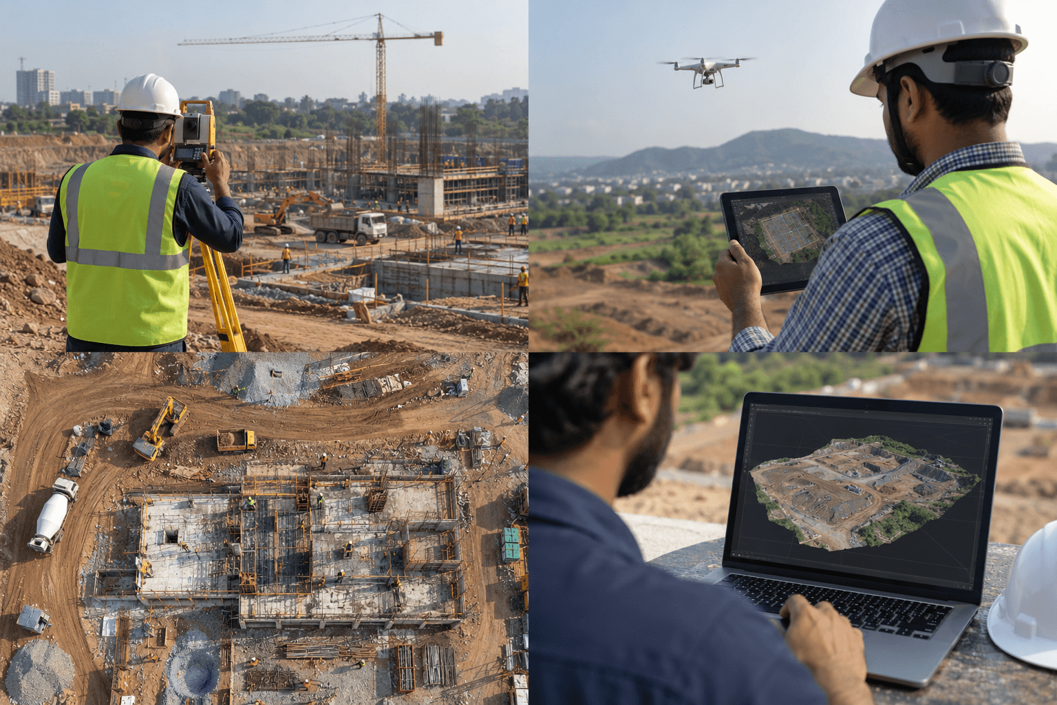
Follow the journey from overlapping aerial imagery to maps and models.
Learning with Aerocadmy
Understand the technology. Explore where you can take it.
Upcoming recorded courses. Explore the proposed outlines and join a course waitlist.
4 planned courses · Industry Applications
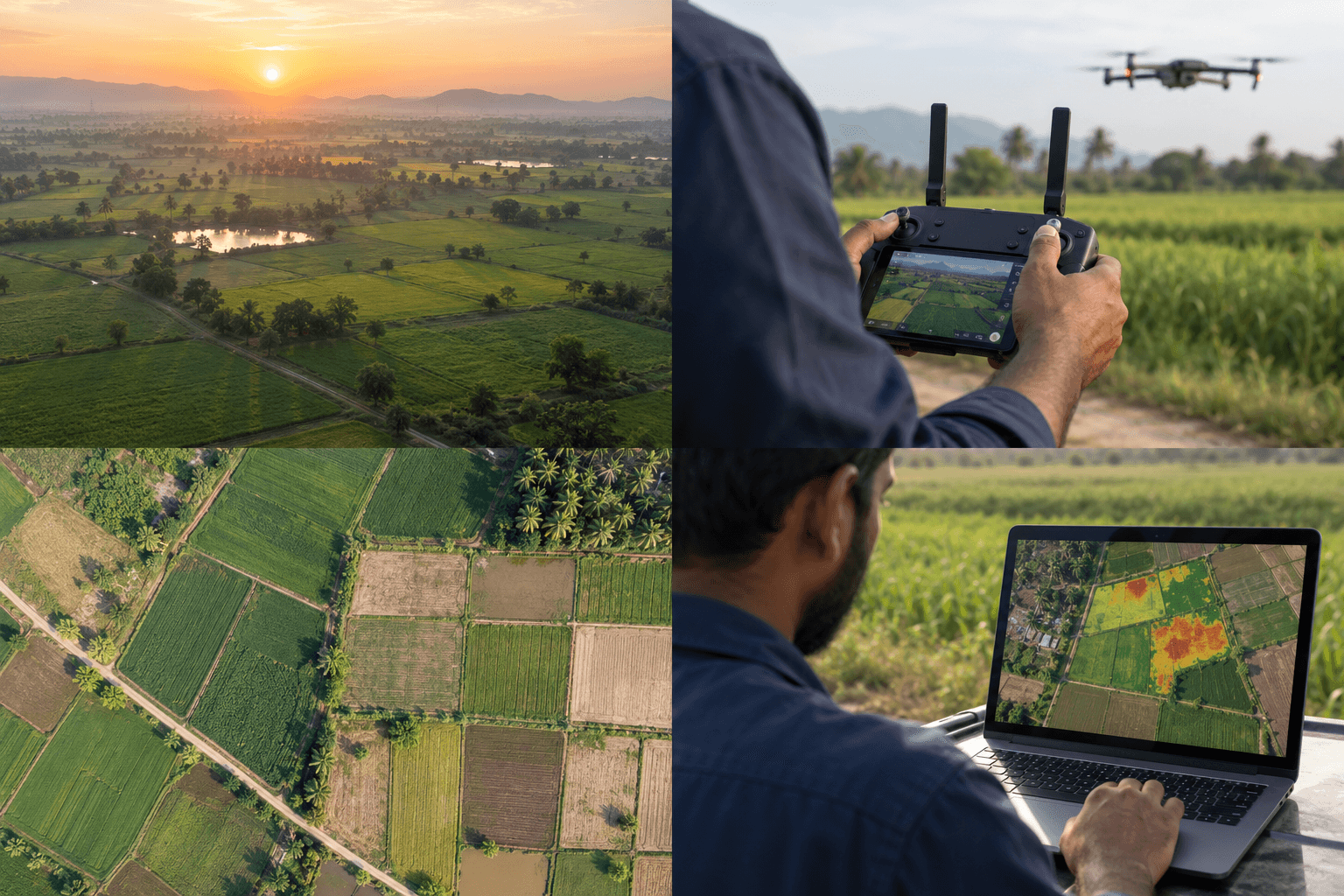
Follow the journey from overlapping aerial imagery to maps and models.
Read aerial images, compare observations, and communicate what the evidence shows.
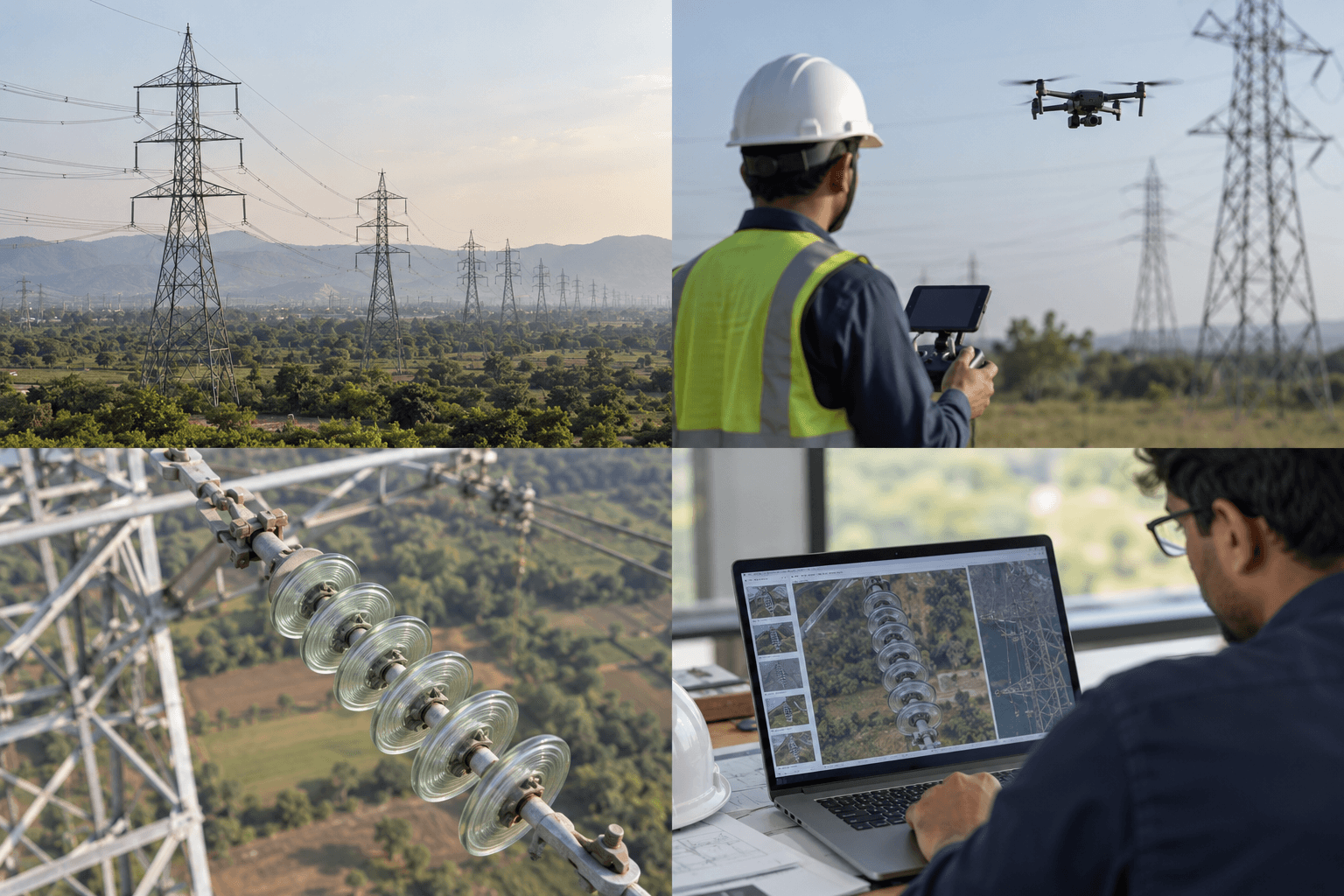
Organise inspection imagery into a clear, traceable record of observations.
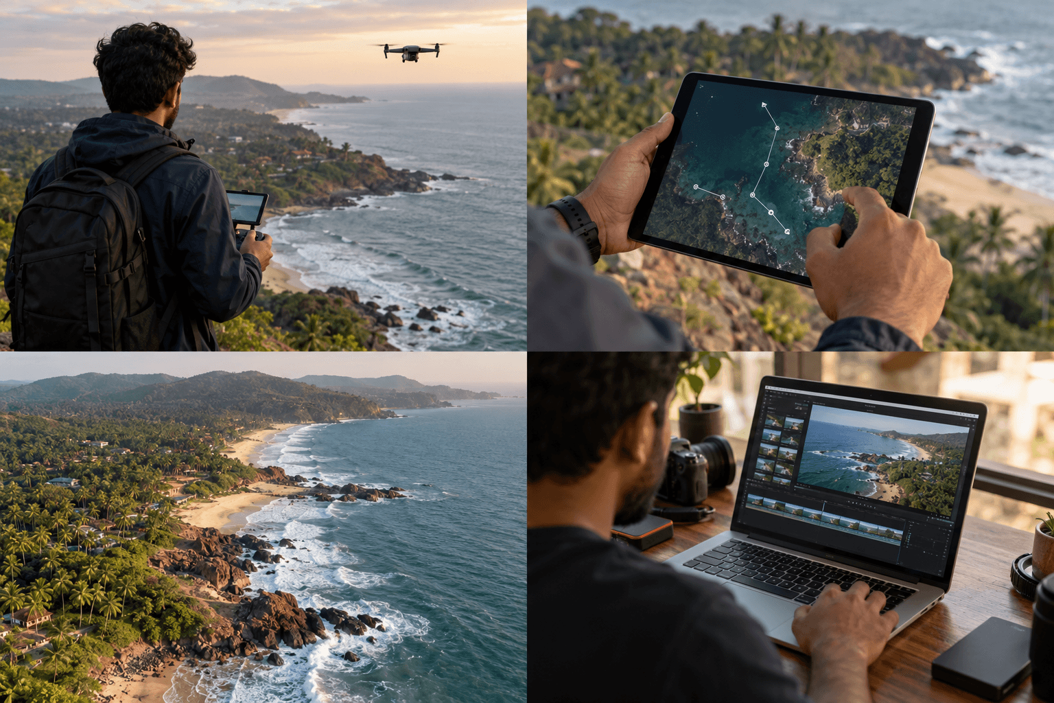
Explore composition, camera movement, and storytelling through aerial footage.
Illustrative learning scenes. Course details may develop as the recorded programs are created.